

ST. LOUIS - The cold but active weather pattern will stick around this week across the bi-state as the jet stream holds in a northwest flow.
This means the lobe of cold air will be stubborn to move, and we'll have chances of precipitation multiple days as "clipper" systems slide through the flow.

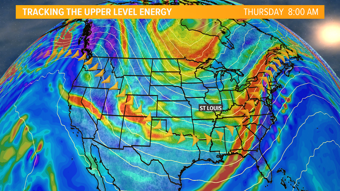
These types of winter systems are usually defined by their fast arrival and departure, and lower total rainfall or snowfall.
Tuesday's storm system will be slightly different, bringing more moisture with it as it crosses the Rockies. Winds will shift tonight into Tuesday to the southeast, pulling in warmer air for one day.

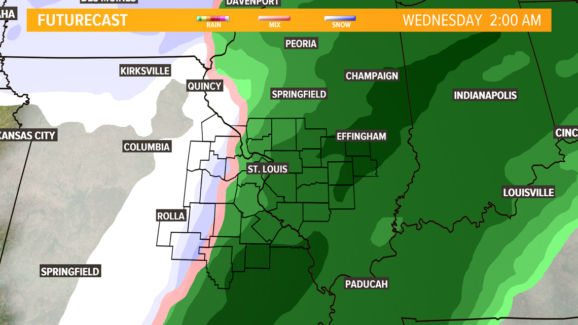
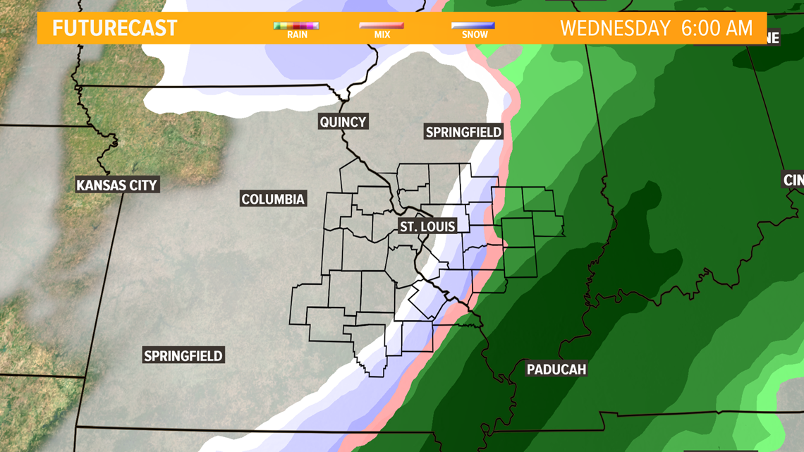
We'll have a lot to watch with the possibility of some freezing drizzle at the onset of rain Tuesday where temperatures will be near 30 degrees, but temperatures will rise into the 40s during the day. Rain continues late afternoon through Tuesday night. Cold air will move in fast behind the rain, meaning we could see a brief period of a wintry mix or snow before dawn Wednesday. Accumulation isn't expected at this time, but there could be slick spots Wednesday morning.
With an active cold pattern, we could see chances of snow later in the week, but how much and exact placement are somewhat uncertain at this time.
There is a low chance for snowfall on Thursday, and on Saturday.
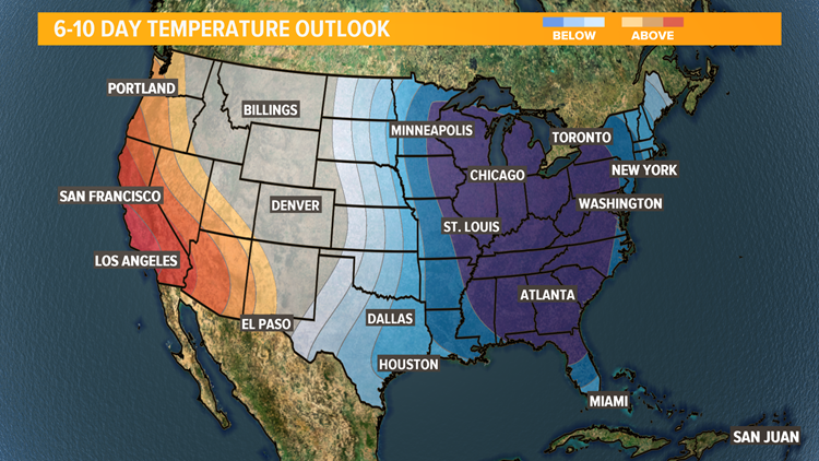
Temperatures will be well below average into the end of January. Climate records have our average high near 40 and low near 24 this time of year.
