
Heavy rain continues push north and east across the bi-state as the remnant low pressure left behind by what was Tropical Storm Gordon this weekend.
Flash flooding has occurred in a few areas south of St. Louis with a Flash Flood Warning in place for Crawford Co. Missouri until 9AM.
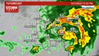
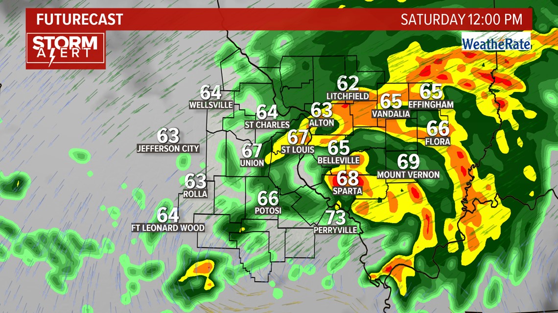
The heaviest rain will push east of the St. Louis metro between 12-2PM.
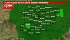
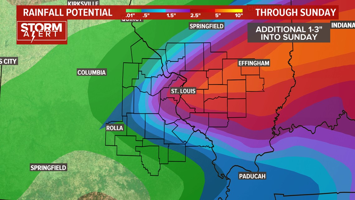
1-4" of rain has already fallen across much of the region, with an additional 1-3" possible through Saturday night. A Flash Flood Watch is in place until Sunday morning.

With the clouds and wet weather, high temperatures will back off into the weekend as highs on Sunday will struggle to reach 70°. Showers may linger into early Sunday followed by dry weather to start next week. Temperatures will rebound after the cool weekend, back into the 80s by Wednesday and beyond.
In addition to widespread heavier rainfall locally, excessive rain to our north has resulted in higher river levels. River flood warnings are in effect for many locations along the Mississippi, Missouri and Illinois Rivers. While mostly minor flooding is expected along the Mississippi, from Winfield north, moderate flooding can be expected near St. Louis. This will result in some roads being closed by early next week. Major rises on the smaller rivers can be expected. Backwater from the Mississippi causing the Meramec at Arnold to rise above flood stage.
Stay with 5 on Your Side as we track the rain and thunderstorms across the region into this weekend.