

ST. LOUIS — Rain has been falling across the St. Louis area overnight and will continue for the pre-dawn hours of Friday. Most of the showers should wrap up around sunrise and most of the day is mostly cloudy and not as hot. In fact, yesterday at St. Louis Lambert, the high temperature was 88, Friday will be closer to 77.
Another fast moving system could slide in on Saturday with showers or a quick storm possible in the afternoon and evening. Because of the low risk for severe weather, a Weather Alert Day has been issued by the Weather First Team. Another chance of rain is possible Sunday evening and overnight.
The wet pattern continues into next week with more rain and thunderstorm chances into Monday and Tuesday. Severe thunderstorm chances look to increase early next week. Through the end of the week, rain chances remain, as temperatures remain above average. By next weekend, we may catch a break from the wet weather with temperatures closer to seasonal averages.


ST. LOUIS METRO FORECAST
Today: Rain early, then mostly cloudy. Highs in the mid 70s.
Tonight: Partly cloudy, lows near 60.
Saturday: Partly sunny with scattered showers and storms developing by afternoon/evening. Highs around 80.
Sunday: Partly sunny with scattered showers and storms by evening. Highs near 80.
Monday: Partly sunny with scattered showers or storms, breezy. Highs in the low 80s.
Tuesday: Showers and thunderstorms, breezy. Highs in the low to mid 80s.
Wednesday: Partly cloudy with a chance for storms. Highs in the 80s.
Thursday: Partly cloudy with a chance for rain...highs near 80.
Friday: Mostly cloudy...highs in the 70s.
Saturday: Partly cloudy...highs in the 70s.
Sunday: Partly cloudy...highs in the 70s.
Latest High-Resolution Model Output:
Download the free 5 On Your Side app to get the latest watches and warnings and track conditions live with our interactive radar. Use the links below to download now.
The Weather First Team will use "Storm Alert" to refer to life-threatening or major-impact weather conditions in our region. "Weather Alert" refers to nuisance or disruptive weather and is indicated by orange icons and bars in our weather graphics on TV and online.
5 On Your Side news app
iPhone | Google Play
To watch 5 On Your Side broadcasts or reports 24/7, 5 On Your Side is always streaming on 5+. Download for free on Roku or Amazon Fire TV.

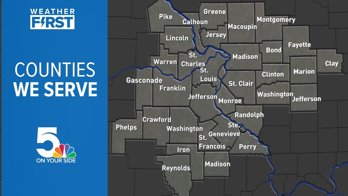
In Missouri, we serve these counties: Crawford County, Franklin County, Gasconade County, Iron County, Jefferson County, Lincoln County, Madison County, Perry County, Phelps County, Pike County, Reynolds County, St. Charles County, St. Francois County, St. Louis City, St. Louis County, Ste. Genevieve County, Warren County, and Washington County.
In Illinois, we serve Bond County, Calhoun County, Clay County, Clinton County, Fayette County, Greene County, Jefferson County, Jersey County, Macoupin County, Madison County, Marion County, Monroe County, Montgomery County, Randolph County, St. Clair County, and Washington County.


Listen to Weather First updates with your radio on 93.7 The Bull or 103.3 KLOU.