ST. LOUIS — Sunday was a hot day across the Bi-state with St. Louis Lambert reaching a record high temperatures of 93 degrees. Storms continued to pop up on the Illinois side of the river through the day. In fact, the Metro East had several thousand people without power around 8 p.m.
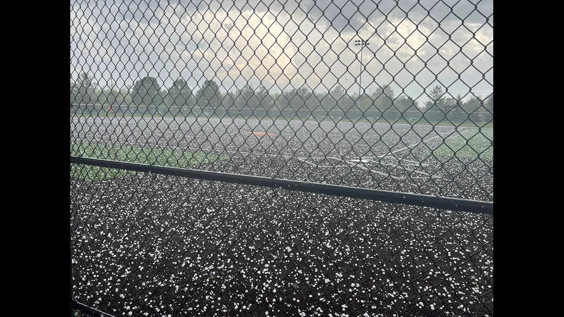
Hail up to golf ball sized in some cases, but mostly lots of quarter-sized hail, was enough to coat the ground in O'Fallon, Illinois, earlier Sunday.
Most of you on the Missouri side saw something like this in the distance. Clouds that topped over 40,000 feet at times produced the classic "anvil" shape that we're familiar with thunderstorm development.


Most of the storms that rolled through Monday morning were just below the criteria of being severe, but put down plenty of heavy rain and produced a lot of lightning and thunder. Most of the rain should clear around 8 a.m. and then the rest of the day is hot and humid. There is the potential for a few more afternoon storms to pop-up with the humidity remaining high.

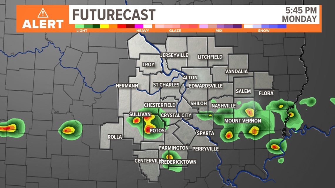
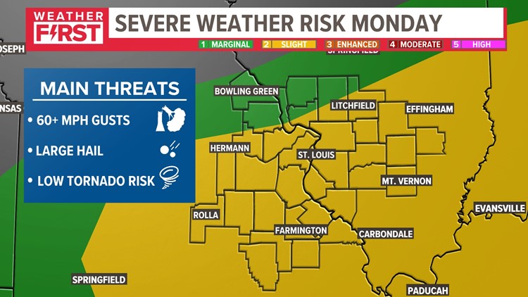
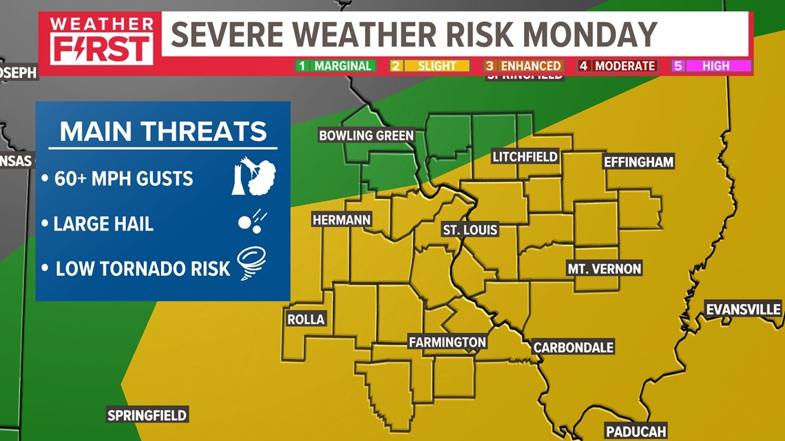
There is a slight risk for storms to become severe Monday afternoon and evening with the main risk being large hail, damaging winds & a tornado.

The storms should clear the area overnight Monday night. Less humid air slides in for Tuesday and Wednesday.
Download the free 5 On Your Side app to get the latest watches and warnings and track conditions live with our interactive radar. Use the links below to download now.
5 On Your Side news app
iPhone | Google Play