


ST. LOUIS — UPDATE 11:10 p.m. Monday:
The severe threat has ended in the 5 On Your Side area. Strong storms are now across far southern Illinois and western Kentucky.
Previous Story:
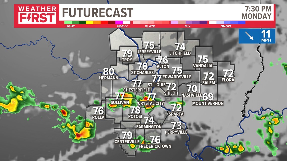
Another round of strong to severe thunderstorms is expected to develop across parts of Missouri and Illinois through Monday evening.
The greatest concern initially will be for large hail up to the size of tennis balls.
Along with the hail threat, strong winds will become an increasing threat as thunderstorms merge together into clusters of storms.
The Storm Prediction Center has issued a Severe Thunderstorm Watch until 11 p.m. for portions of the area. The watch does not include St. Louis, but Jefferson, Franklin and Gasconade counties in Missouri and St. Clair, Clinton and Marion counties in Illinois as the northern boundary.

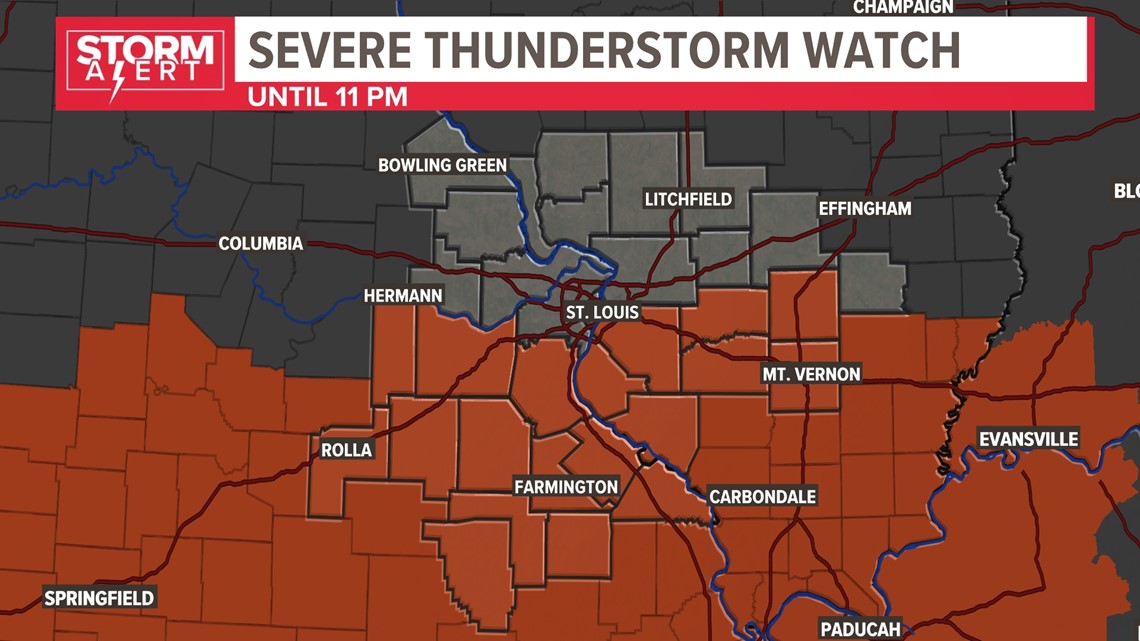
As thunderstorms approach this afternoon, move inside away from windows and doors. The greatest threat of severe weather appears to be along and south of Interstate 44 in Missouri and along and south of I-70 in Illinois.

The thunderstorms will move out of our area late Monday evening. Quiet weather will return for Tuesday and Wednesday with highs around 80.
This will bring an end to a couple of busy days across the region. On Sunday, severe storms dropped large hail in many areas just east of the Mississippi River.
Download the free 5 On Your Side app to get the latest watches and warnings and track conditions live with our interactive radar. Use the links below to download now.
5 On Your Side news app
iPhone | Google Play
