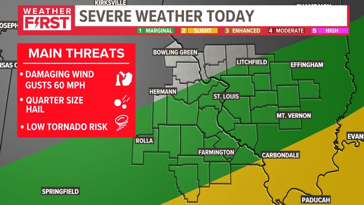
ST. LOUIS — After dodging the worst of the weather Tuesday, the St. Louis area was hit by another round of thunderstorms Wednesday afternoon, which temporarily delayed the Cardinals game.
The storms moved on and weakened. Additional showers and storms over the Ozarks have also fallen apart during the late afternoon. The threat of any severe weather has now diminished.
Download the free 5 On Your Side app to get the latest watches and warnings and track conditions live with our interactive radar. Use the links below to download now.
5 On Your Side news app
iPhone | Google Play

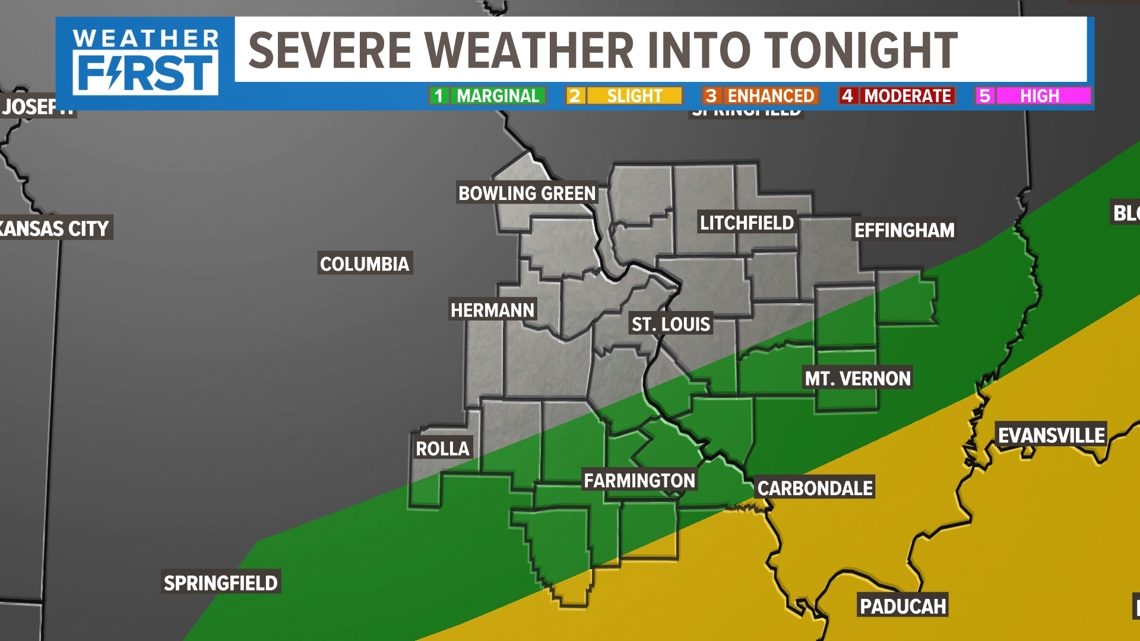
During the overnight hours, scattered showers and a few thunderstorms will develop south of the metro St. Louis area and drift northward as the low level jet kicks in.

These scattered showers and a few thunderstorms will not be severe during the pre-dawn hours.

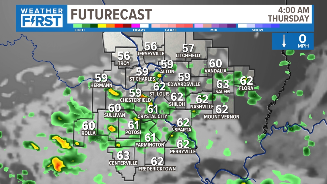
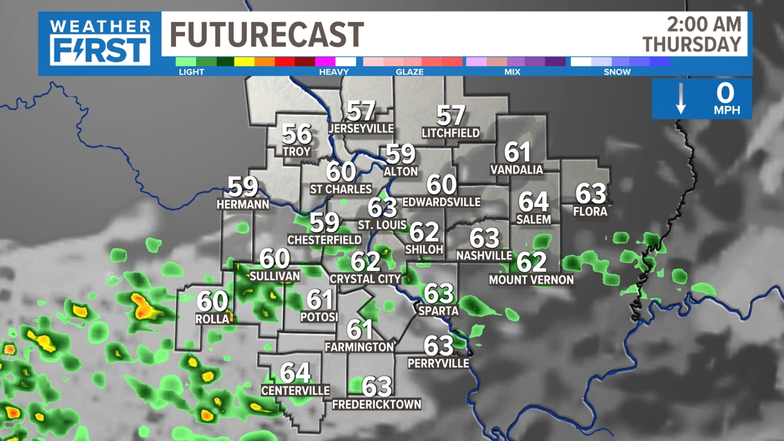
The showers may linger for some into Thursday morning before diminishing during the afternoon.

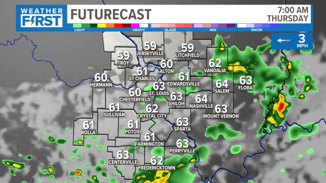
Over the next several days, storm chances remain in the forecast. Thursday, after any morning showers, the rain and storms should stay to our south and west.

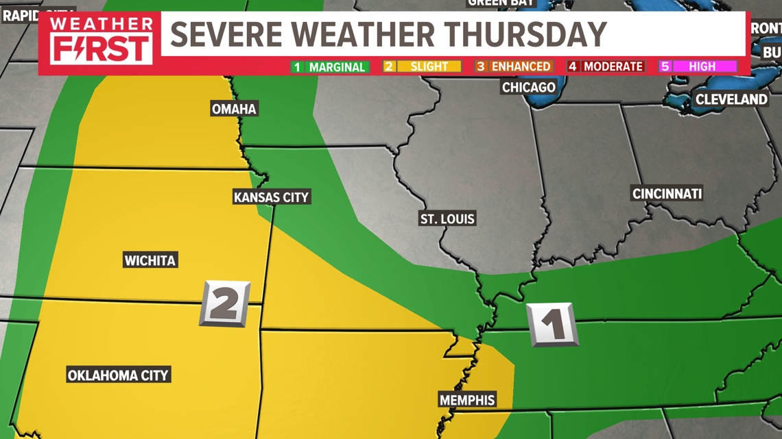
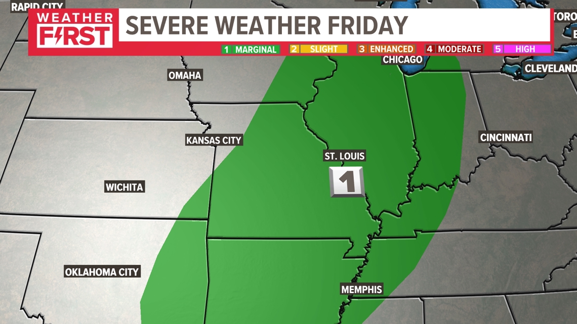
The Storm Prediction Center has our area outlooked for a marginal (level 1) risk of severe weather for Friday. This could potentially become our next Storm Alert Day.

If you're making plans for Memorial Day weekend in and around the St. Louis area, Saturday appears to be dry and not overly humid. Sunday, showers and thunderstorms are expected to be more widespread. Strong to severe storms are possible somewhere in our region. It remains uncertain where the greatest threat or exactly when the threat will exist. The Storm Prediction Center has highlighted much of Missouri and Illinois for the potential of severe weather on Sunday.

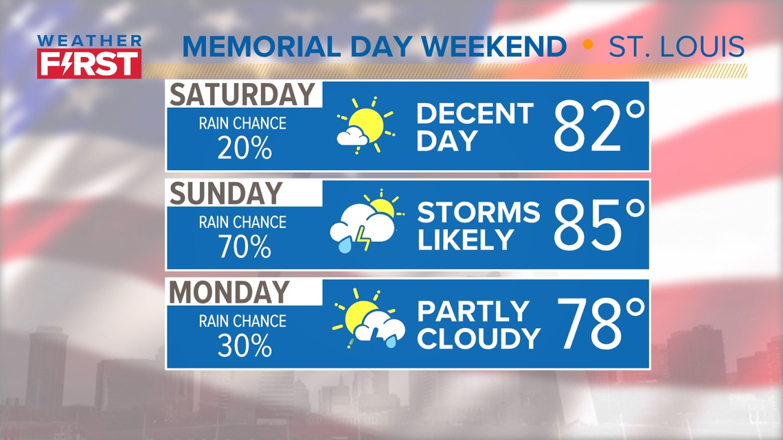
On Memorial Day, scattered storms are possible. Temperatures over the weekend will range from the upper 70s to mid 80s depending on cloud cover and when any rain falls.