ST. LOUIS — Isolated strong to severe storms are moving into a few parts of the St. Louis region this evening, with gusty winds as the main threat.
Severe thunderstorm warnings for parts of Franklin and Gasconade counties expired at 5:30 p.m., the National Weather Service (NWS) said.
The warnings come less than 24 hours after tornado warnings throughout the St. Louis area expired Sunday night. At least 5 tornadoes touched down as a result of Sunday night's storms, according to NWS survey crews.
One of the tornadoes was confirmed by radar in south St. Louis County before 6 p.m. Sunday. The storm that produced the tornado continued to move through the area without losing strength. A second storm pocket further south triggered tornado warnings as well, but those warnings have cleared the 5 On Your Side viewing area as well.
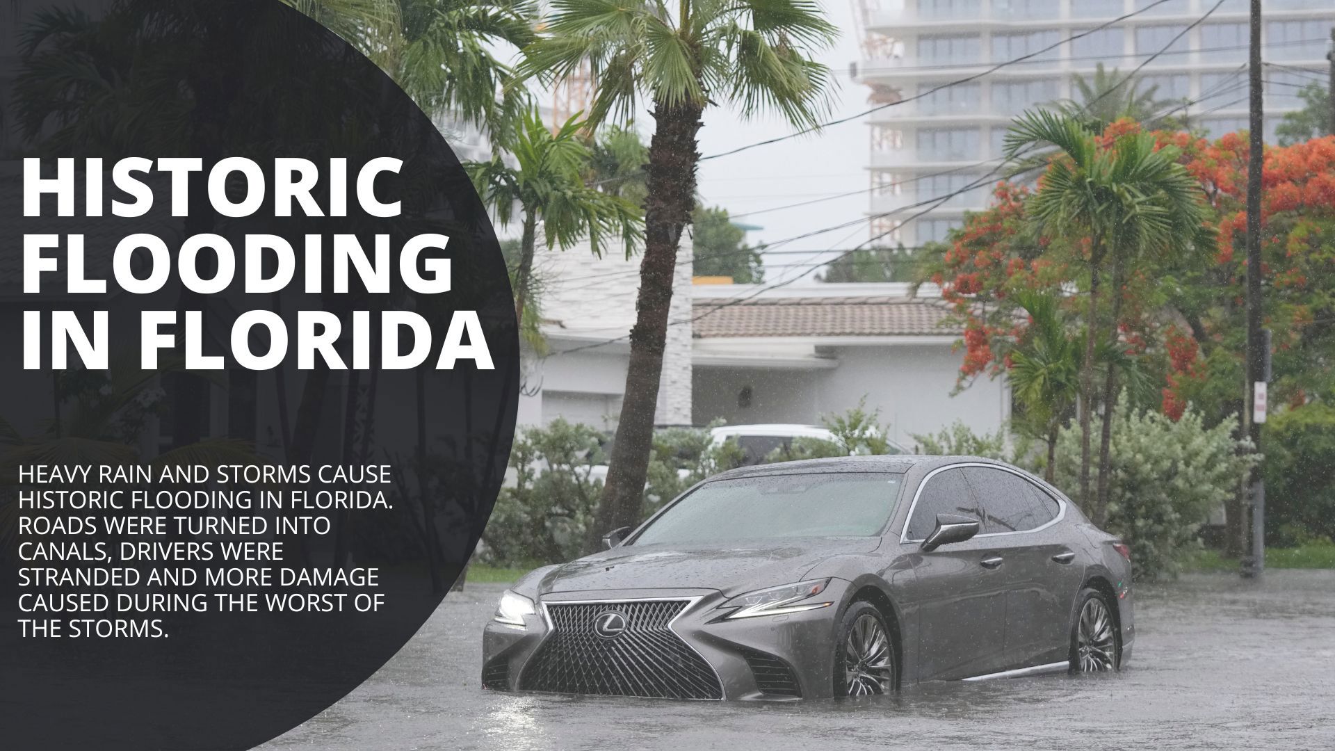
In addition to strong winds, heavy rains caused flooding around the St. Louis area. Interstate 55 flooded near Carondelet. The St. Louis Fire Department assisted drivers stuck in flood water in the area.
Download the free 5 On Your Side app to get the latest watches and warnings and track conditions live with our interactive radar. Use the links below to download now.
5 On Your Side news app
iPhone | Google Play
To view the interactive radar, click here.