
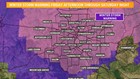
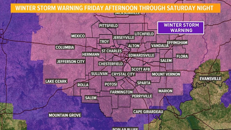
ST. LOUIS — A major winter storm is moving into the St. Louis region. Expect significant accumulating snow developing Friday afternoon and continuing into Saturday.
RELATED: Complete Closings list

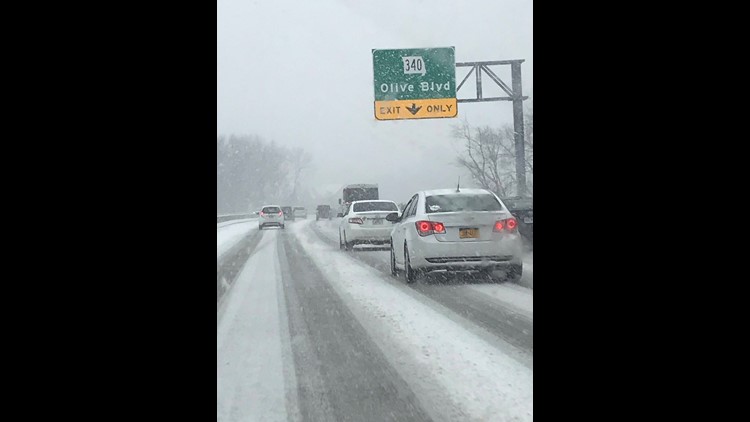
Wintry precipitation continues to spread across the region this afternoon. Expect a cold rain or even some freezing drizzle around lunchtime in St. Louis. While most of what falls around St. Louis is expected to be snow, some sleet and rain may mix in at times. A mixture is more likely south of St. Louis. Snow accumulations will increase toward the evening rush hour with an inch or two possible.

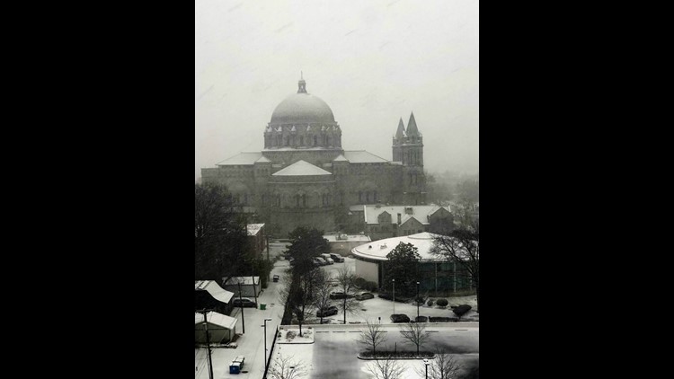
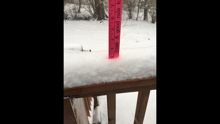
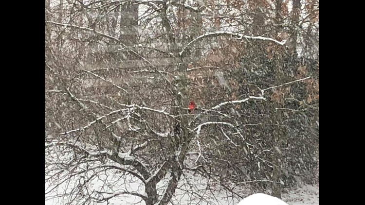
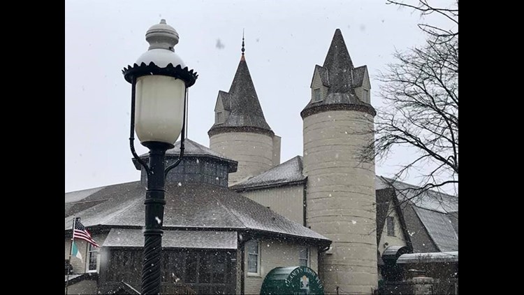
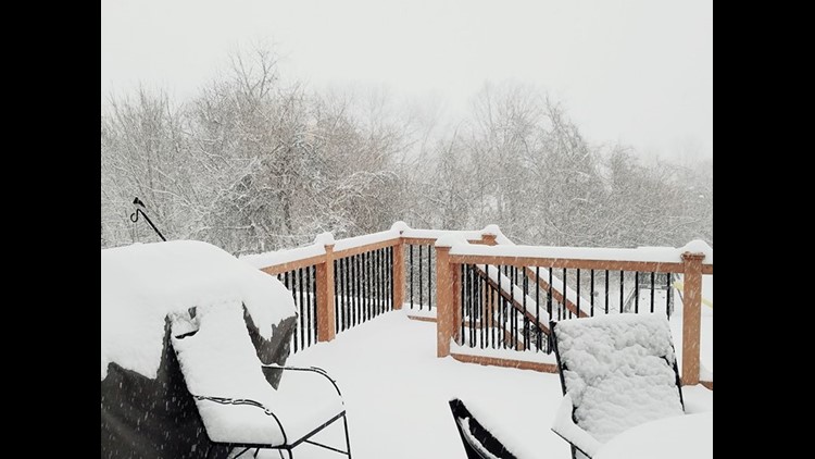
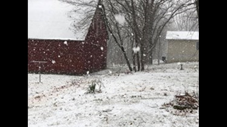
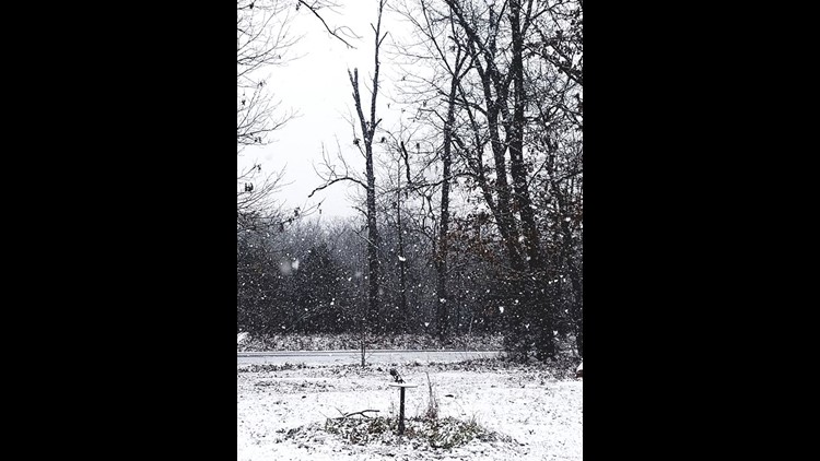
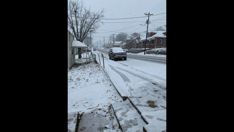
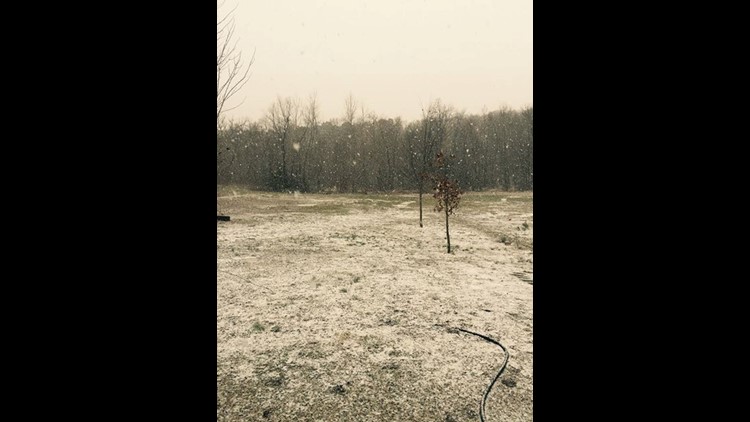
PHOTOS: Snow moving into the bi-state
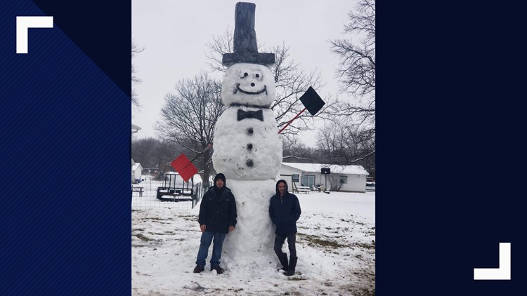
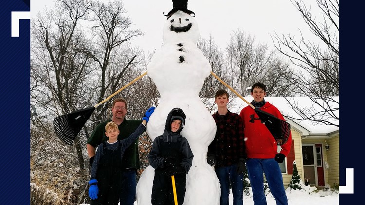
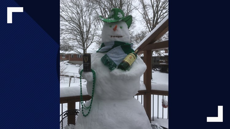
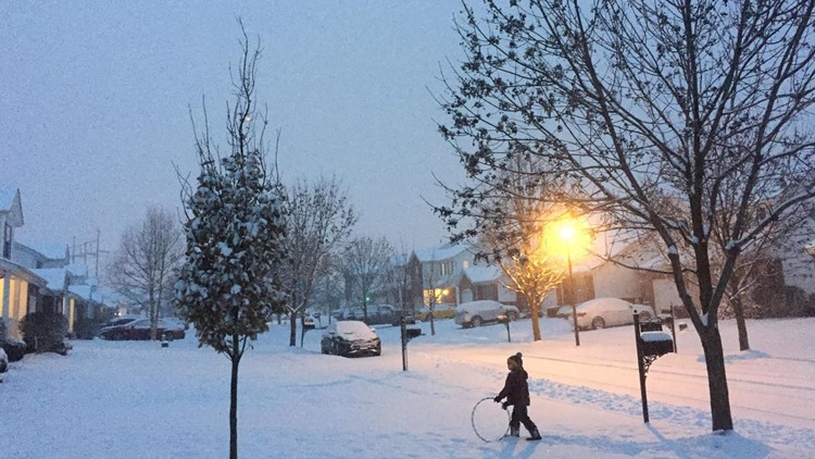
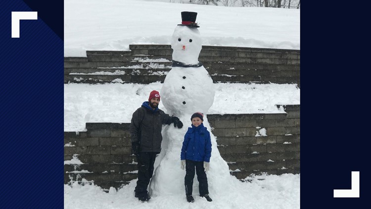
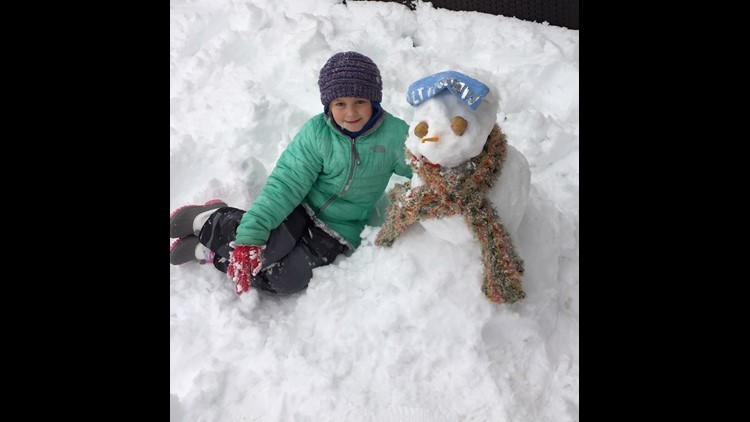
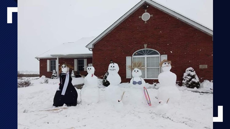
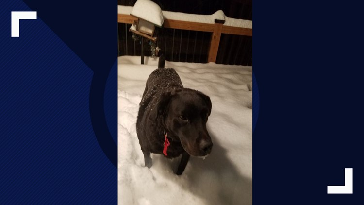
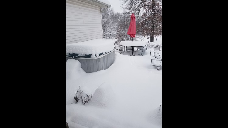
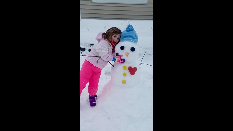
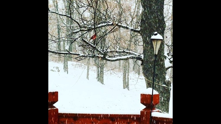
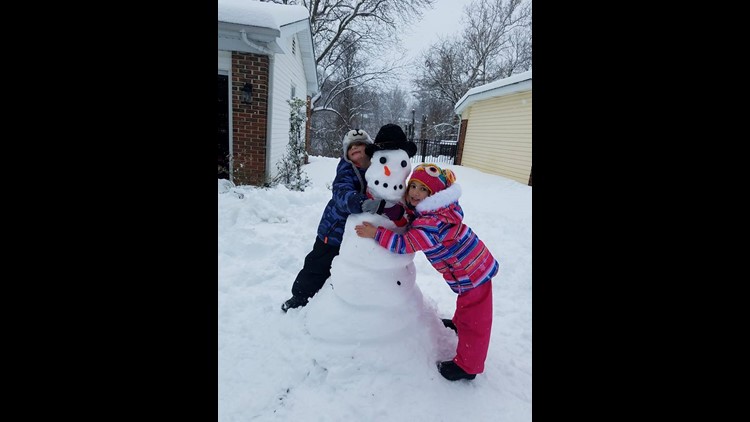
PHOTOS: Snow day pictures from Missouri and Illinois


During a Friday press conference, MoDOT said this will be the biggest snow we've seen since 2014.
Weather App: Download for Android

Weather App: Download for IOS devices

Moderate to heavy snow will continue through Friday evening, overnight, and into the early hours on Saturday. Expect snow totals of 5” to 10” by tomorrow morning in the bi-state, with highest amounts around and along Interstate 70 on both sides of the river.
MORE: Watch Live Radar
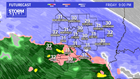

Light and at times moderate snow will linger through Saturday morning in our region with snow finally easing sometime during the afternoon tomorrow.
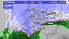

Snow showers will continue, however, through Saturday night. Snow showers will come to an end on Sunday morning.
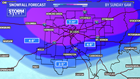
Snowstorm totals will be in the 7” to 11” range in the St. Louis area, with higher amounts north of the metro. A few locations may see more than a foot of snow. Areas south of St. Louis will see lesser amounts of 2” to 6.”

Sunday will remain cold and cloudy with high temperatures in the lower to middle 30s. Our weather looks dry for Monday through next week Thursday, with temperatures in the 30s and lower 40s. Another chance of wintry precipitation returns the following Friday and weekend.
