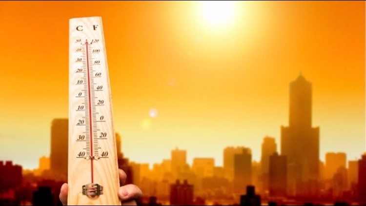
ST. LOUIS — Heat indices have been above 100 degrees across the area this afternoon, the first day in a stretch of scorching heat for St. Louis.
While a few thunderstorms have developed to the west and southwest of the metro area, a large complex of storms continues to march to the southeast from northern Missouri and west-central Illinois.
There were more than 20,000 customers without power at some point. By 8 p.m., there were about 13,000 customers still without power. Nearly all of them were in St. Louis County.
RELATED: Live interactive radar
These strong storms produced gusty winds and downpours as they move into the metro area. The storms may hold together all evening, long enough to impact the metro area.


A large tree was knocked down by the storm on the 5900 block of Pershing.
Once any storms diminish, it's back to excessive heat into the weekend. Afternoon heat indices could top 110° in the city over the next couple of days.
5 On Your Side weather app
iPhone | Google Play
5 On Your Side news app
iPhone | Google Play
Heat has a cumulative effect on the body and this stretch of hot weather will likely last through the weekend. A cold front is expected to pass through the region later Sunday or Monday bringing more tolerable temperatures to the area.
Heatwaves like this can quickly cause heat stress or heat stroke if precautions are not taken. The very young, the elderly, those without air conditioning and those participating in strenuous outdoor activities will be the most susceptible.
Drinking plenty of water, staying out of the sun and spending time in air conditioning are important during this time. Check on your neighbors and remember your pets need relief from the heat as well.


