

ST. LOUIS — UPDATE: Steady rain will come to an end during Thursday morning with mostly cloudy skies into the afternoon. A few spotty showers are possible.
Dry weather will return to start the weekend as temperatures climb into the 80s.
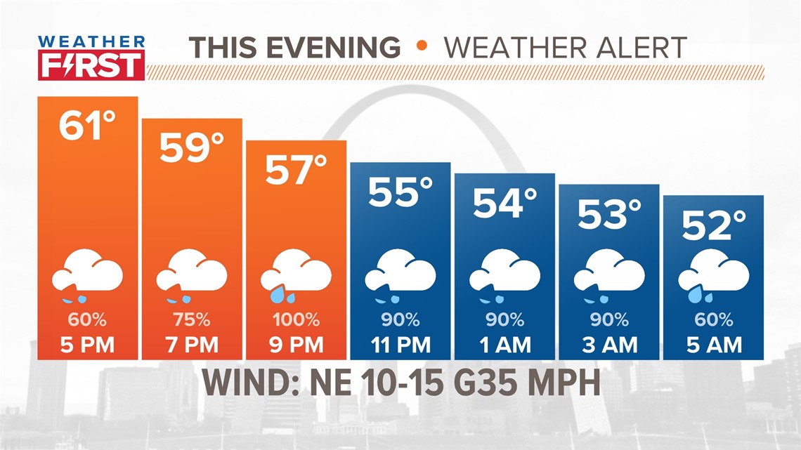
PREVIOUS: The Weather First team continues a Weather Alert for the evening commute Wednesday as widespread rain moves into the area. Severe thunderstorms are NOT in the forecast Wednesday night.
More widespread showers and some rumbles of thunder, mainly south and east of St. Louis, will develop during the evening Wednesday.
The steadier rain is expected to move into the metro area just in time for the evening rush hour, with wet roads expected to slow the evening commute.
The Weather First Team will use "Storm Alert" to refer to life-threatening or major-impact weather conditions in our region. "Weather Alert" refers to nuisance or disruptive weather and is indicated by orange icons and bars in our weather graphics on TV and online.
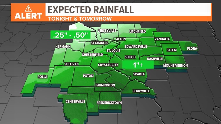
Severe weather is highly unlikely across our region as that focus remains farther to our south. New Orleans is the bullseye for severe weather on Wednesday. In our area, some decent rainfall totals are in the forecast with some areas seeing more than an inch of rain and possibly more east and southeast of St. Louis.

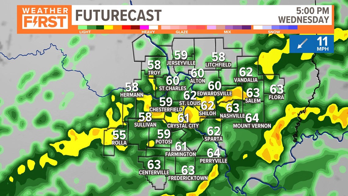
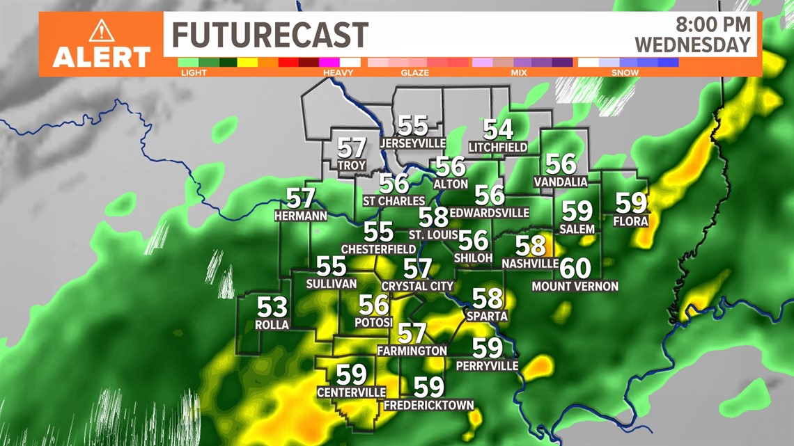
The widespread, heavier showers with some embedded thunder will linger through the evening hours over the Greater St. Louis area and south and east of the city.


Showers will still linger into Thursday but look more scattered with fewer impacts. It will be breezy with winds gusting above 30 mph after midnight tonight and continuing into Thursday afternoon. Total rainfall from this system is expected to be impressive for many areas. Some areas east and southeast of St. Louis are favored to see an inch of rain with locally higher amounts south and east of St. Louis. Far north and western areas will only see .25" up to .50" for rain totals.


Dry weather returns Friday. Much warmer weather returns for the weekend as high temperatures climb into the 80s. That is roughly 20 degrees above average for this time of year.
The pattern for next week is favorable for a few showers and thunderstorms at times as temperatures remain much above average. Whether any storms become strong or severe will likely depend on how much moisture is available when any disturbance rolls across our region.
