ST. LOUIS — After dreary, chilly weather this week, most of us are ready for summer and sunshine. So, what will our summer weather look like once it finally gets here? Kevin Deitsch is the Warning Coordination Meteorologist with the National Weather Service in Weldon Spring.
"If you go back to April 1, it's the coldest we've been since 2008 and after today, I think after today it will be the coldest since 1997,” said Deitsch. So far, May is more than 4 degrees below average in St. Louis."
Even with colder weather, April showers brought the May flowers with abundant rain this spring.
RELATED: Latest St. Louis area forecast
Considering how wet it was last year and through the winter, so far the rain has been spaced out enough to keep area rivers from seeing major flooding. But Deitsch said rivers are still running high.
"As we get into late May, June and even July, we get what are called mesoscale convective systems, essentially a big blob of thunderstorms that form over the Plains and move into our area, and they are known for their heavy rain,” Deitsch explained.
Download the free 5 On Your Side app to get the latest watches and warnings and track conditions live with our interactive radar. Use the links below to download now.
5 On Your Side news app
iPhone | Google Play
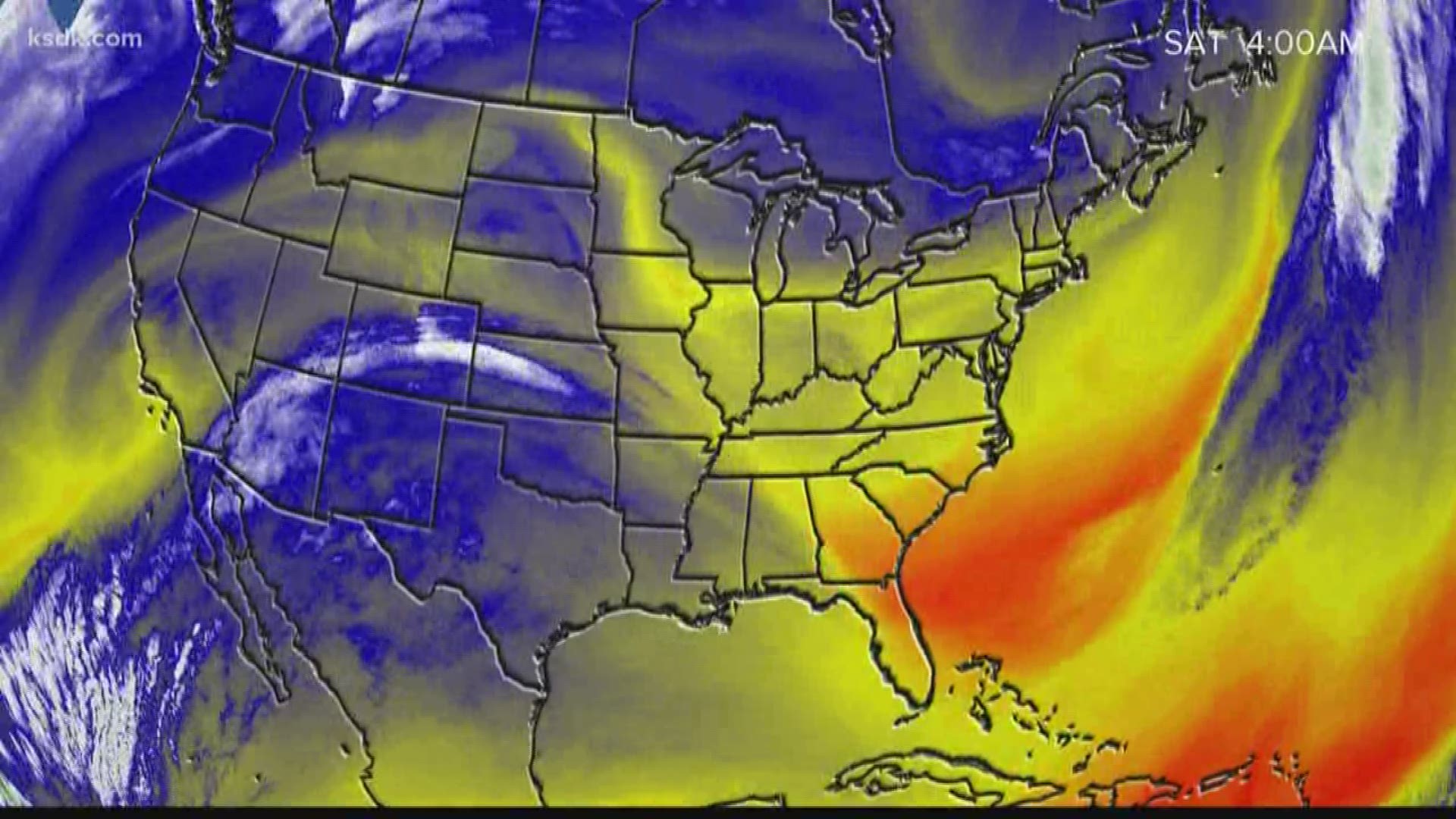
The northern and southern jet streams have kept our weather on a roller coaster since last fall. Even in the last month, a 25 to 30 degree difference in high temperatures over a few days has been the normal. Now, it's time for the northern jet to head toward Canada bringing us warmer weather.
"Things we typically look at, our global patterns, are in a neutral phase right now meaning that there is just not a whole lot to hang our hats on one way or the other how our summer will pan out,” said Deitsch.
The end of March brought us a few hailstorms from mid-Missouri. Historically, May is our biggest severe weather month for hail and tornadoes.
"We are past the worst of the hail season. That being said though, especially in June, we can see some pretty big hailstones,” said Deitsch. “We've seen that in the past, but as you get into late June and July, the large hailstones are harder to come by."
Of course, severe storms can happen anytime in St. Louis.
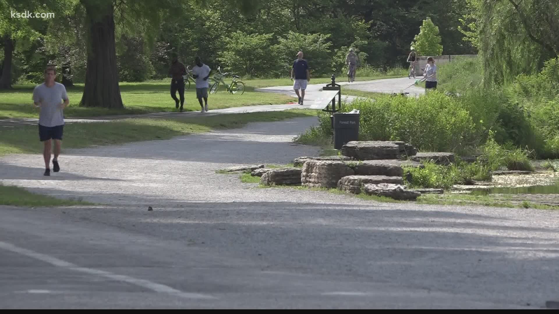
Be on the lookout as summer's heat and humidity return and with COVID-19 concerns lingering, the message is play it safe.
"Take breaks. It's going to get hot. Use sunscreen and drink lots of water because you're probably going to be outside a little more than you are in a normal summer,” said Deitsch.
With the lack of a driving force, odds are our summer temperatures will be fairly close to average overall. Rainfall is still expected to be at or above average. Our driest time is most likely to occur in late-July into August. That's also when we will see our hottest days.
With the way 2020 has been, expect at least one or two unusually cool spells over the summer, giving us a bit of a break from the St. Louis heat and humidity we've come to love.