
ST. LOUIS — A strong upper-level system is creating major weather impacts for central portions of the United States into Wednesday.
While the upper-level system and its associated storm track are historically quite favorable for major winter storms in our area, the general lack of cold air will likely lead to more of a heavy, wet snow.
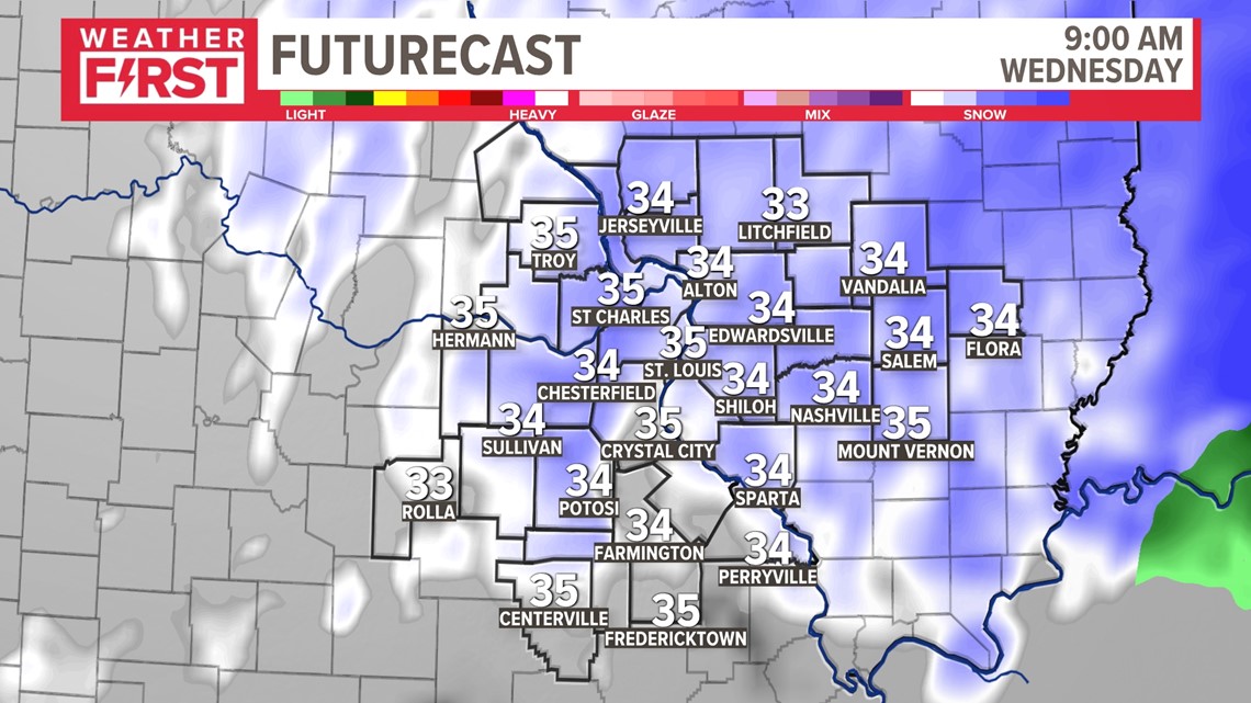
Travel impacts will continue into Wednesday morning's rush hour, especially south and east of the metro area. Winter storm advisories and warnings are in effect for the St. Louis area and for much of the 5 On Your Side viewing area.
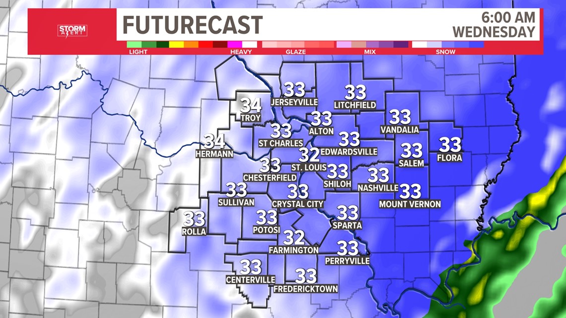
Rain developed Tuesday evening across the St. Louis area before changing over to snow through the overnight hours. A heavy wet snow is expected to fall through mid-morning Wednesday.

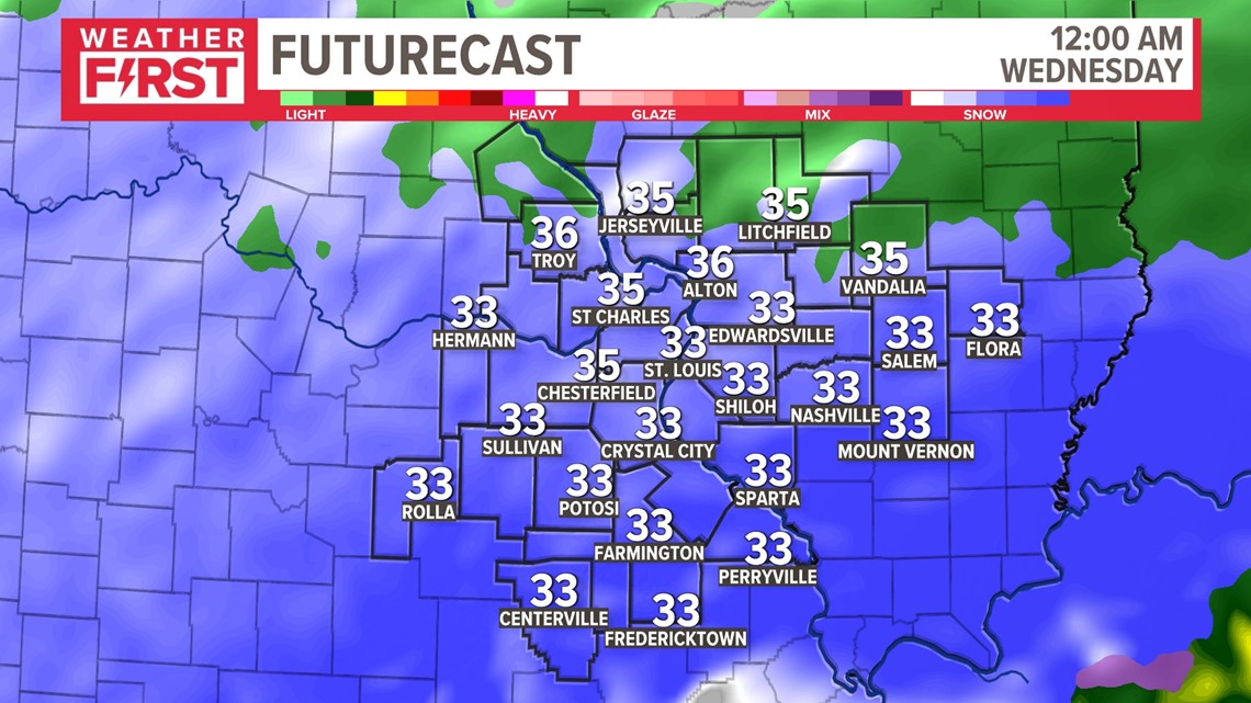
Temperatures will be around freezing while the heaviest snow falls.

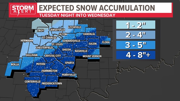
The heaviest snow will fall south of Interstate 44 in Missouri and south of Interstate 70 in Illinois. Some of the heavier snow bands may move through the metro area, especially eastern and southern portions of the metro.

Accumulation amounts will be heaviest from the Ozarks into southeast Missouri and parts of southwest Illinois where up to eight inches of snow is possible. Locally higher amounts could occur if heavier bands develop. This will be a heavy, wet snow and will likely compact due to the water content and warm ground temperatures. This may also limit the snow depth across our area just a bit.


North and west of the metro area, snowfall amounts will drop off quickly with an inch or two expected. The Weather First team thinks most of the metro St. Louis area will see two to five inches of snow.
With temperatures not particularly cold, snow intensity will complicate travel conditions. The snow will fall faster than it is able to melt and road crews may have a difficult time until the snow stops falling. This is especially true during the pre-dawn hours Wednesday through about 8 or 9 a.m. Wednesday morning.
By lunchtime, widespread snow will have moved east. Snow showers into the afternoon will not add any additional accumulation. Road conditions should improve across the area by late afternoon Wednesday as temperatures climb into the mid-30s.
