
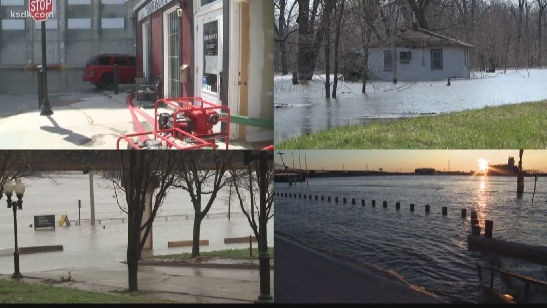
Rising waters are making their way onto the roads in Missouri and Illinois, causing multiple closures.
Here are the flood closures as of 5:45 Monday evening.
Missouri
- Highway 79 along the Missouri River in Pike County
- Route N along the Missouri River in Pike County
- Route P along the Missouri River in Lincoln County
- Route B along the Missouri River in St. Charles
- Highway 94 in West Alton
- Highway 67 over Joachim Creek in Jefferson County
- Route AA near the Mississippi River in Jefferson County
- Highway 61 near the Mississippi River in Ste. Genevieve
- Route J at Highway 61 in Ste. Genevieve
- Route F in Iron County
For up to the minute road conditions, check the MoDOT Traveler Map.
Illinois
- Water Street (Truck Bypass) IL 3 to Kaskaskia Street near Chester in Randolph County.
- Kaskaskia Street(Truck Bypass) Water Street to Cottage Road at Chester in Randolph County.
- IL 3 Jackson County Line (Flood gate) to Water Street (St Mary's River) near Cora in Randolph County.
- IL 96 IL 100 to Jefferson Avenue in Kampsville in Calhoun County.
- IL 96 County Highway 2 to Crooked Creek Hollow Rd near Mozier in Calhoun County.
- IL 100 US 67 to Williams Street in Alton in Jersey County.
- IL 100 IL-3 to Stump Lake Road near Grafton in Jersey County.
- IL100 IL 16 to IL 96 near Hardin in Calhoun County.
- IL 155 Laurent Road to Fish Lake Road near Prairie Du Rocher in Randolph County.
- The Brussels Ferry.
For updated Illinois closures, click here.